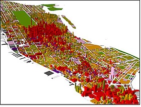
This course focuses on Geographic Information Systems (GIS) and their application in spatial analysis, more particularly in Urban and Spatial Planning. The course includes a presentation of the theoretical background and the basic concepts and techniques on GIS and a practical application aiming at the familiarization of students with the subject of the course through computer-based exercises. Emphasis is placed on GIS applications in Urban and Spatial Planning. For this reason, the course structure, as well as the content of the lectures and laboratory exercises, is adapted to this end.
The semester project includes the analysis of an urban area in a GIS environment. The purpose of the exercise is to learn the whole process of analyzing an urban area from the stage of finding / collecting and organizing data to the implementation of simple but also more complex spatial analysis tools / methods.

